 ';
view
SERVICES
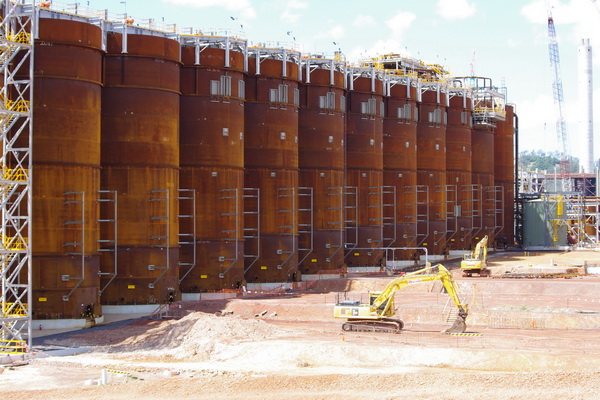
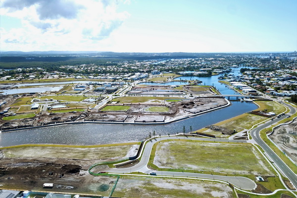
JFP has recognised that pioneering spatial technologies can be used to capture and manage data that can be critical to the success of a project. Recognising the tangible benefits that RPA/Drones, Scanners and GIS Mapping offer, JFP has developed considerable skills in applying these cutting edge technologies. In combination with JFP’s extensive background experience in providing field survey services, these technologies are delivering tangible benefits to our clients.
RPA/Drones
- Stockpile Surveys
- Digital Surface Models
- Aerial Photography + Photogrammetry
- Site Inspection Videos
- Sales + Marketing Photography/Videos
- 3D Modelling
- Environmental Monitoring
Scanners
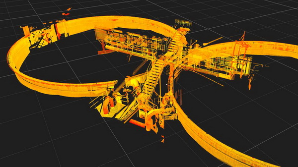
- Highly accurate, dense, colour point clouds/3D models
- Ideal for surveying detailed areas for engineering design work
- Perfect for Structures, vessels, tanks, pipework requiring upgrades/modifications
- Effective and Efficient Surveys
GIS Mapping
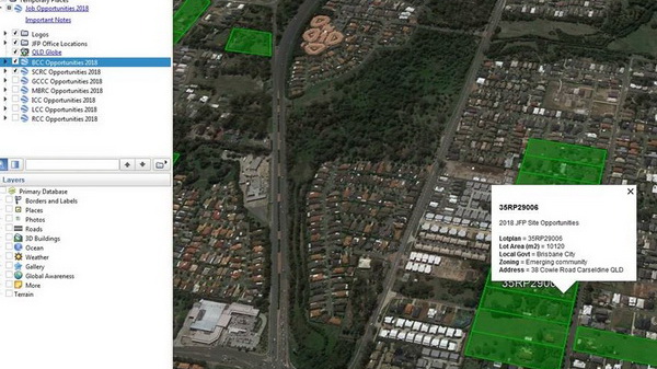
- Development Opportunities/Constraints
- Feasibility Mapping
- Market Intelligence Mapping
- Georeferenced Site Plans
